
15 Oct The beginning of lidar topography work on board a drone
15/10/2020
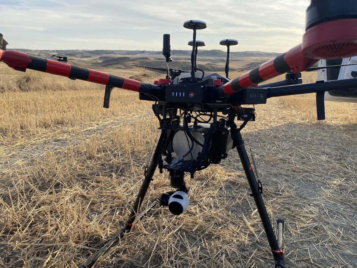
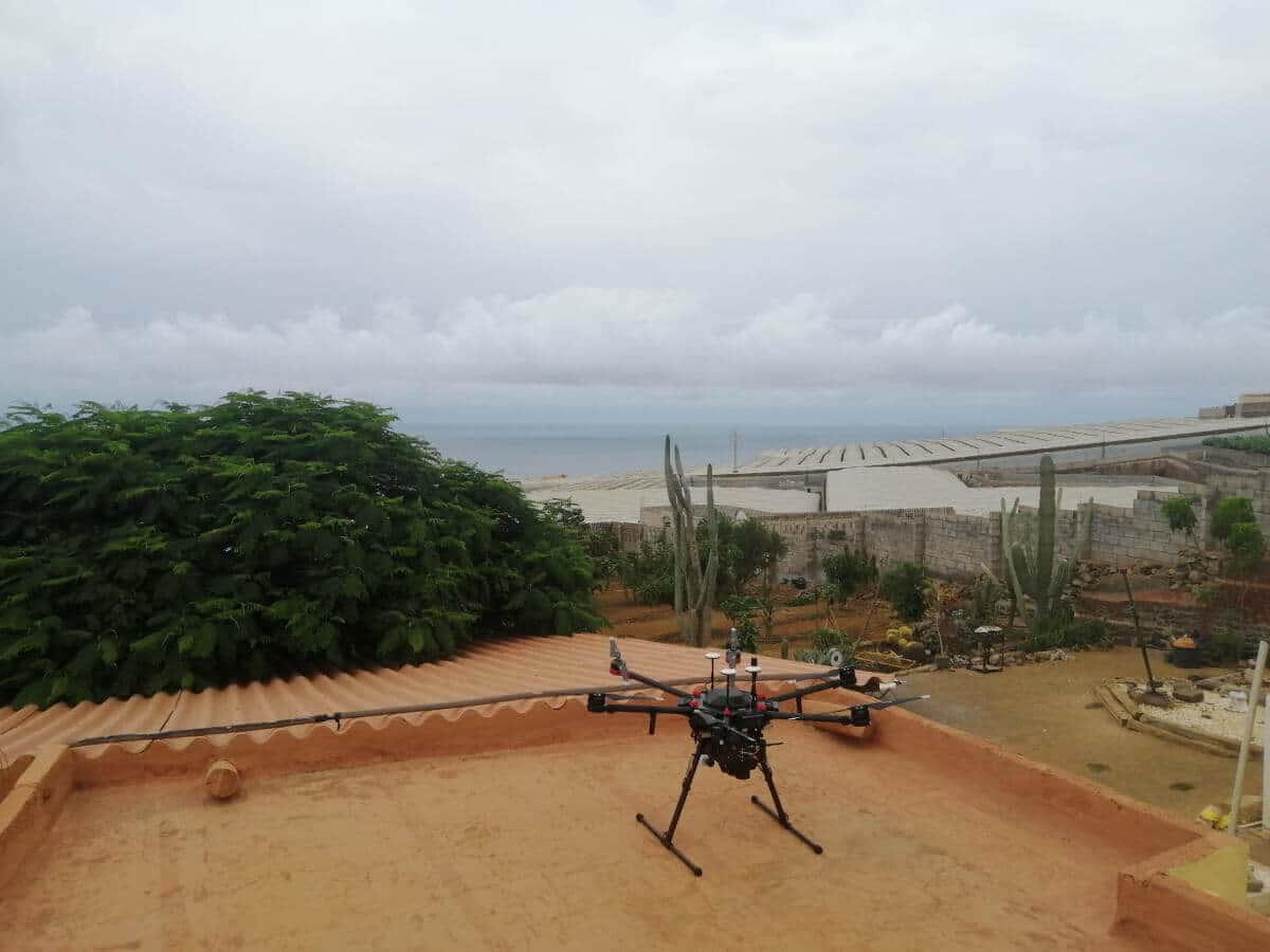
With the objective of continuous improvement, business diversification and a full dedication to the service, Im3 acquires a DJI MATRICE 600 PRO drone and an equipment called Aedrone (Lidar, RGB, NIR, Thermal, Multispectral, 360º) with the aim of carrying out and offering all its clients the work of lidar topography.
To be able to offer the services of lidar topography on board a drone, a work team has been formed, composed by the Drone Pilot plus a topographer and a technical support for delineation and classification of points belonging to the Department of HV Lines.
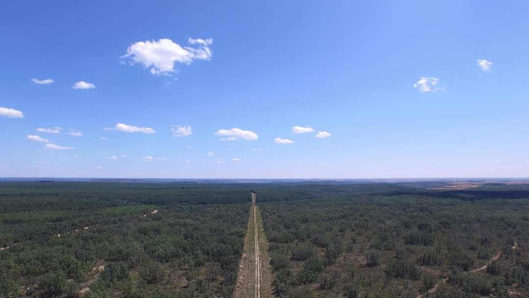
The beginning of this new project started in July, and works have already been carried out on a total of 200 km of new 132, 220 and 400 kV lines and 40 km of upgrading of existing 132 kV lines. The work has been carried out throughout Spain (León, Zaragoza, Cantabria, Navarra, Cuenca, Toledo, Madrid, Ciudad Real, Alicante and Huelva) for clients such as Iberdrola, REE and various renewable generation developers.
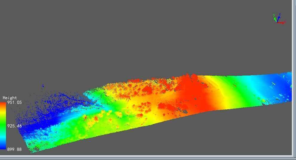
In this way, Im3 offers an integral service in the design of High Voltage lines, from the field data collection to the detailed design.